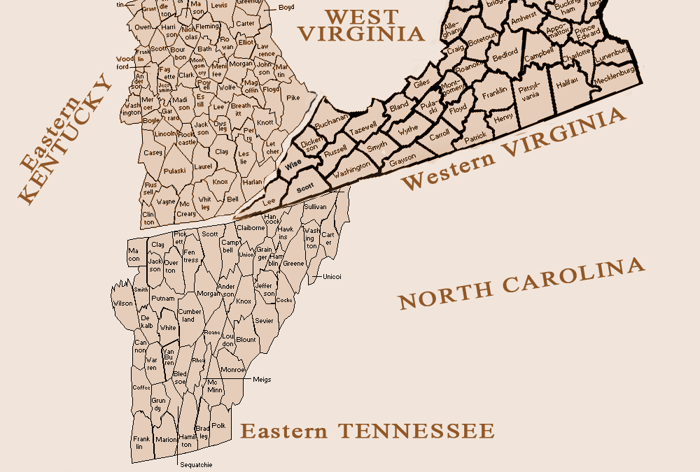
I was spurred by an email from another researcher to look for a map of early Sumner County, Tennessee.
The researcher sent the transcription of the 1802 indenture made by Mourning White, widow of Richard Pryor, for land on Caney Fork (on the Cumberland River) in Smith County. When I looked for Caney Fork I was reminded of how complex the county boundaries were in the 1800’s.
Time for another one of my rough maps.
Cane Creek lies in the center of the map, in White and Putnam Couties. Neither of these counties had been formed in 1802, so it’s likely that Cane Creek was entirely in Smith County at the time of the indenture.
Before the indenture, these counties and many others were still part of Sumner County. Sumner was one of the first counties in Tennessee and it was broken apart over the years to form several other counties, which in turn were divided into still more counties. The above map shows roughly in yellow the boundaries of the original Sumner County.
Looking at the map and looking at the Pryors again, William Pryor born 1761-1771 in VA and first recorded in White Co., TN in 1809 (3 years after White County was formed from Smith County). It’s likely that William is was in Smith Co. from it’s formation in 1799; his oldest son William was born in TN in 1791. Smith County was formed from Sumner County so it’s possible that he’s the William Pryor in the early records of Sumner County.

